
Methods & Technology
How We Find Them
Modern methods for detecting, mapping, and documenting archaeological sites that have never been excavated — without disturbing a single grain of soil.
The Remote Sensing Revolution
Seeing Without Digging
For most of human history, finding buried ruins meant putting a shovel in the ground and hoping. Systematic archaeology improved this — but it still required physical access, significant funding, and years of painstaking fieldwork. The ground held its secrets well.
That equation has fundamentally changed. Over the past two decades, a convergence of technologies originally developed for military reconnaissance, geological surveying, and climate science has transformed how archaeologists locate and document buried sites. Today, it is possible to survey thousands of square kilometers from aircraft or satellites, detect buried walls through solid earth, and map entire lost cities — all before a single person sets foot on the ground.
What was once invisible is now legible. The world's unexcavated heritage is being catalogued at a pace that would have seemed extraordinary even a generation ago. Below, we explain the principal methods and what they have already revealed.
Detection Technologies
The Toolkit
Light Detection & Ranging
LiDAR — Stripping the Jungle from the Air
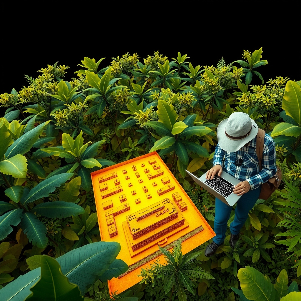
LiDAR works by firing millions of laser pulses per second from an aircraft or drone. Most pulses hit vegetation canopy and return quickly. Some slip through gaps in the foliage and strike the ground — and the altitude difference between those returns is translated into extraordinarily precise topographic maps.
The result: dense tropical rainforest, which has concealed ruins for centuries, becomes transparent. Straight lines, geometric platforms, causeways, and enclosures emerge from the noise of natural terrain. At Angkor, a single LiDAR survey in 2012 revealed more urban infrastructure than had been mapped in the previous century of archaeology combined.
Orbital Remote Sensing
Satellite Imagery — Crop Marks and Soil Anomalies
Buried structures affect the land above them in subtle but consistent ways. Stone walls close to the surface cause soil to retain less moisture; buried ditches trap more. These differences manifest in the color, density, and growth patterns of vegetation above — visible from orbit as faint geometric crop marks.
Modern commercial satellites capture imagery at sub-meter resolution across multiple spectral bands invisible to the human eye. Analysis of near-infrared, thermal, and multispectral data reveals buried features in plowed fields, arid plains, and shallow-soiled landscapes with remarkable clarity. Google Earth has enabled even amateur researchers to identify previously unknown sites.
Subsurface Imaging
Ground-Penetrating Radar
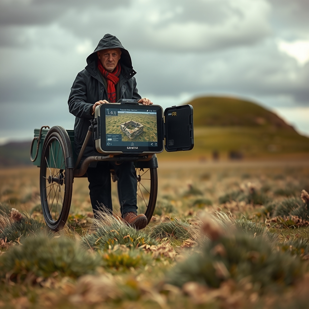
GPR transmits electromagnetic pulses directly into the earth. When a pulse encounters a boundary between materials — soil and stone, soil and void, soil and metal — part of the signal reflects back to a receiver antenna. Processing these returns produces a cross-sectional profile of subsurface features, typically to depths of one to five meters in ideal conditions.
GPR is non-destructive, portable, and highly precise when operated correctly. It has identified buried chamber systems, collapsed roof voids, buried pavements, and even individual artifacts in contexts as varied as Egyptian desert sites, English cathedral crypts, and Mesoamerican plazas. The tradeoff is scale: GPR surveys are slow and best applied once a site's general extent is known from other methods.
Magnetic Field Analysis
Magnetometry
Every fired clay structure — a kiln, a hearth, a burned building — retains a magnetic signature distinct from surrounding soil. Magnetometers dragged or walked across a site measure minute variations in the Earth's magnetic field caused by these buried features, producing plan-view maps of subsurface activity that can look astonishingly like architectural drawings.
Magnetometry is particularly powerful for detecting ancient settlements, where hearths, ovens, and fired-brick structures abound. Surveys can cover several hectares per day, making it far more efficient than GPR for large open sites. It has been used to reveal the unexcavated portions of sites like Portus (Rome's ancient harbor) and Stonehenge's surrounding landscape in extraordinary detail.
Method Comparison — Approximate Survey Coverage per Day
Computational Archaeology
AI & Machine Learning
The explosion in remote sensing data has created a new bottleneck: human analysts cannot review it all. A single LiDAR survey of the Amazon basin generates terabytes of point-cloud data. Identifying archaeological features within that data manually would take decades. Machine learning algorithms trained on known site signatures are now deployed to search this data autonomously.
Convolutional neural networks, the same architecture that powers image recognition in consumer software, are trained on labeled datasets of known archaeological features — burial mounds, ring ditches, platform structures. Once trained, they can scan thousands of square kilometers of terrain data in hours, flagging candidate sites for human review. The false-positive rate remains a challenge, but the recall — the proportion of genuine sites identified — is already competitive with experienced analysts.
In the Arabian Peninsula, machine learning analysis of satellite imagery identified over 6,000 previously unknown potential archaeological features in a single study. In the Peruvian Andes, AI has helped identify Nazca-style geoglyphs invisible to previous surveys. The pace of discovery is accelerating.
What These Methods Have Found
Case Studies
These technologies are not theoretical. In the past decade alone, they have rewritten the archaeological map of multiple continents.
The Greater Angkor Urban Complex
LiDAR · Aerial Survey
LiDAR surveys of northwestern Cambodia between 2012 and 2015 revealed that Angkor was not a single temple complex but the center of a sprawling low-density medieval city covering over 1,000 km² — one of the largest pre-industrial cities on Earth. Hundreds of previously unknown temples, reservoirs, and road networks remain unexcavated in dense jungle.
Lidar in the Guatemalan Maya Lowlands
LiDAR · Machine Learning
A 2018 LiDAR survey covering 2,100 km² of northern Guatemala revealed over 60,000 previously unknown Maya structures, including fortifications, causeways, and raised agricultural fields. The findings effectively tripled the estimated population of the Classic Maya heartland and identified sites that may take generations to investigate properly.
Stonehenge's Hidden Landscape
Magnetometry · GPR · Seismic
The Stonehenge Hidden Landscapes Project, using magnetometry and GPR across 12 km², identified seventeen previously unknown Neolithic monuments buried around Stonehenge, including a massive palisade and numerous burial mounds. The monument, famous above ground, proved to be the visible tip of an entire sacred landscape.
Buried Bronze Age Cities, Arabia
Satellite Multispectral · AI
Multispectral satellite analysis of the Empty Quarter and surrounding regions has identified thousands of potential Bronze Age sites, including what may be extensive settlement networks predating known Arabian urban history. Ground verification of a fraction of these sites has confirmed their archaeological significance; the vast majority remain entirely uninvestigated.
Çatalhöyük's Unexcavated 90%
GPR · Magnetometry
Combined GPR and magnetometry surveys at the 9,000-year-old Neolithic city of Çatalhöyük in Turkey have mapped the room-by-room layout of sections that have not been touched by excavation. The surveys suggest the occupied area is significantly larger than previously modeled, with dense mud-brick architecture extending far into unexcavated mound sectors.
Nazca Plateau New Geoglyphs
AI · High-Resolution Satellite
IBM and Yamagata University collaboration deployed deep learning models on high-resolution satellite imagery of the Nazca Plateau, discovering over 140 previously unknown geoglyphs in two years — more than had been found in the previous eighty years of manual survey. Most are too faint for reliable human detection from imagery alone.
Continue Exploring
The Database Is Open
Browse our documented catalogue of unexcavated sites — each one a window into a history still waiting to be read.