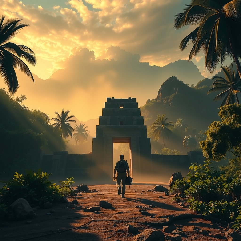
Journey Into the Unexcavated World
What Lies Beneath
Has Never Been Seen
A curated atlas of the world's unexcavated sites — caves, sunken ruins, buried cities, volcanic zones. Filter by region, type, or depth. Begin your descent.
Begin ExploringLocation Categories
Browse by Site Type
Every category represents a distinct world beneath our own — each with its own timeline, geology, and human story yet to be told.
 VIEW CATEGORY
 VIEW CATEGORY
 VIEW CATEGORY
 VIEW CATEGORY
Featured Locations
Sites of Remarkable Depth
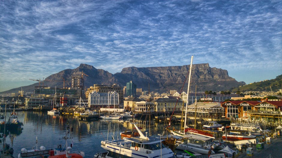
Hand-selected locations from across the globe — each one unexcavated, each one waiting. Click any tile to explore its dedicated page.





Depth Zones
How Deep Does It Go?
Sites are classified by excavation depth potential — from near-surface strata to deep subterranean zones accessible only by advanced survey.
Lens of Discovery
Geological vs Archaeological
Every unexcavated site tells two stories. Choose your perspective.
Formation Age
Sites classified by rock age, sediment type, and tectonic history — from Holocene alluvial plains to Precambrian basement rock.
LiDAR Mapping
Ground-penetrating radar and aerial LiDAR reveal hidden voids, fault lines, and buried watercourses invisible from the surface.
Cave Systems
Speleothem records encode climate data; unexcavated chambers may preserve unique mineral structures never exposed to air.
Volcanic Strata
Pyroclastic flows freeze moments in geological time, encasing landscapes in chemically stable envelopes awaiting future study.
Material Culture
Ceramics, tools, organic remains — each layer of soil is a chapter. Unexcavated sites hold these chapters unread and uncontaminated.
Urban Footprints
Satellite imaging now reveals buried road networks, plazas, and water systems beneath cultivated fields and modern cities.
Burial Practices
Tombs sealed beneath rubble and earth preserve skeletal data, grave goods, and ritual evidence of civilizations otherwise lost.
Script & Records
Clay tablets, papyrus caches, and stone inscriptions may await intact beneath anaerobic soils, rewriting known history.
Featured Stories
Dispatches from Below
Hand-selected accounts of discovery, mystery, and the ongoing pursuit of what has not yet been unearthed.
Central Asia · Uzbekistan
The Buried Towers of Oxus
Beneath the Karakum Desert, magnetometry surveys have mapped a labyrinth of structures not yet touched by excavation — a pre-Islamic city of unknown scale.
Read in Database →Mesoamerica · Guatemala
LiDAR and the Hidden Maya Megacity
Aerial scanning revealed 60,000+ structures beneath rainforest canopy — the majority still sealed under centuries of root and soil, awaiting first contact.
Explore Mystery →Mediterranean · Greece
The Drowned Libraries of Helike
Swallowed by the sea in 373 BCE, the city of Helike lies beneath the Gulf of Corinth. Limited surveys have barely scratched the harbour's outer edge.
Read in Database →East Africa · Ethiopia
Below the Aksumite Terraces
The ancient Aksumite kingdom left visible stelae — but ground-penetrating surveys suggest extensive subterranean burial complexes never opened.
Explore Mystery →South Asia · India
The Sealed Vaults of Anuradhapura
Beneath sacred monastic complexes, geophysical surveys indicate deep vaulted chambers — their contents and purpose remaining entirely unknown.
Read in Database →Western Europe · France
Undiscovered Depths of Lascaux
Only a fraction of the Lascaux cave system has been studied. Connected passages show signs of deeper habitation layers, sealed and unmapped.
Explore Caves →In Motion
Exploration on Screen
Short films and survey footage from the field — cave expeditions, LiDAR scans, and subsurface discovery.