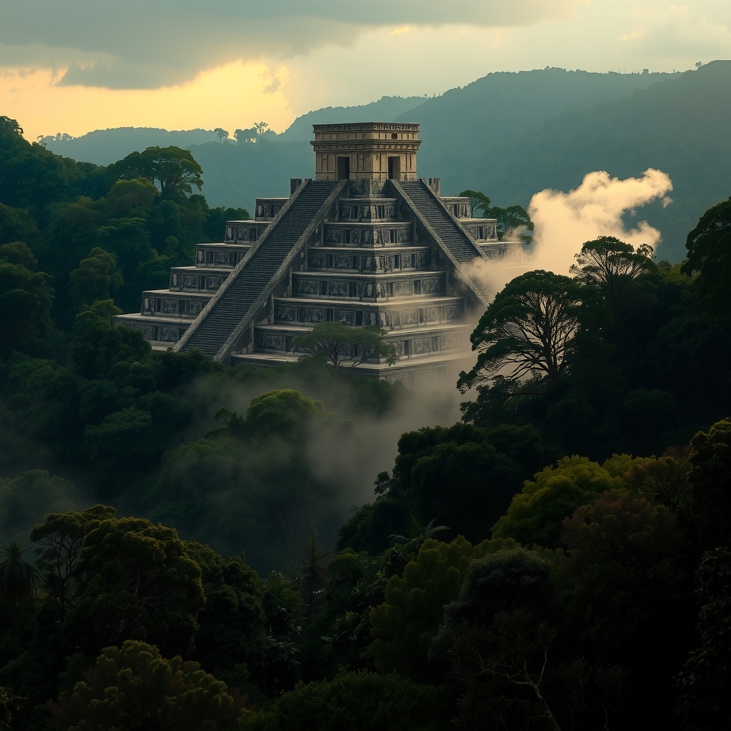
Palenque
90% Still Buried
in Jungle
LiDAR surveys have transformed our understanding of this ancient Maya city. Beneath the green canopy of the Chiapas highlands, thousands of structures wait — many of which will not be excavated within our lifetimes.
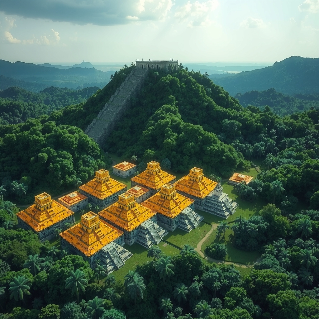
The City the Jungle Hid for a Thousand Years
Airborne LiDAR (Light Detection and Ranging) technology uses laser pulses to penetrate forest canopy and map the ground surface beneath. When applied to Palenque and its surrounding environs, the results were staggering.
Survey data, including work coordinated with the PACUNAM LiDAR Initiative covering the broader Maya Lowlands, revealed that Palenque was not an isolated ceremonial center — it was the nucleus of a dense, engineered urban landscape extending well beyond the limits of the known archaeological zone.
"The scale of Maya urbanism revealed by LiDAR surpasses previous estimates. Palenque was surrounded by agricultural terraces, water management systems, and residential complexes that we are only beginning to map."
Platforms, causeways, suburban residential groups, and hydraulic infrastructure appear throughout the jungle surrounding the site core — most completely unexcavated and unknown to surface surveys conducted before the 2010s.
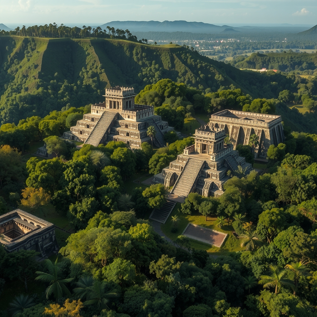
What Has Been Uncovered — and What Hasn't
Since the earliest recorded Western descriptions of Palenque in the 18th century, archaeological work has been continuous but inevitably limited. The site's terrain, vegetation density, and sheer scale have constrained excavation to a fraction of what exists.
Excavated & Consolidated
- Temple of Inscriptions and Pakal's tomb (excavated 1952)
- Palace Complex with its iconic tower
- Cross Group: Temples of the Cross, Foliated Cross, and Sun
- Temple XIII — Queen's tomb and Red Queen burial
- Ball Court and adjacent structures
- North Group temples, partially restored
- Aqueduct system below the main plaza
Unexcavated / Unmapped
- Hundreds of residential platforms across surrounding ridges
- Extensive suburban zone detected by LiDAR west and south
- Agricultural terrace systems on surrounding hillsides
- Possible elite residential compounds east of the core
- Reservoir and water channeling infrastructure
- Outlying sacbe (causeway) termini and associated plazas
- Unknown tombs — likely including major royal burials
What the Literature Tells Us
The following represent key scholarly works, surveys, and projects informing the current understanding of Palenque's unexcavated extent. Readers are encouraged to consult primary sources directly.
Four Centuries of Slow Revelation
First Western Documentation
Friar Antonio de Solís describes the ruins to officials in Ciudad Real — marking the first known Western record of Palenque's existence.
Del Río & Dupaix Expeditions
Antonio del Río conducts the first formal investigation. Dupaix follows with drawings that circulate in Europe, sparking international fascination.
Stephens & Catherwood
John Lloyd Stephens and Frederick Catherwood produce landmark documentation. Their accounts describe a site still largely swallowed by jungle, most structures invisible beneath vegetation.
Alberto Ruz Lhuillier — Pakal's Tomb
Excavation beneath the Temple of Inscriptions reveals the royal sarcophagus of K'inich Janaab' Pakal I — one of the most celebrated discoveries in Mesoamerican archaeology.
The Red Queen Discovery
Arnoldo González Cruz uncovers Temple XIII and the sarcophagus of an elite woman painted entirely in cinnabar. The discovery confirms that significant royal burials remained hidden decades after the site's "discovery."
Palenque Mapping Project
Edwin Barnhart completes the most comprehensive ground survey to date, identifying over 1,400 structures — the vast majority unexcavated — within a 2.2 km² study area.
LiDAR Changes Everything
Aerial LiDAR surveys, building toward the PACUNAM LiDAR Initiative, begin revealing the true scale of Maya urbanism. Palenque's surrounding landscape is transformed from "jungle" to mapped but unexcavated urban space.
Still 90% Underground
With resource constraints, conservation priorities, and the sheer scale of what LiDAR has identified, projections from Mexican and international researchers suggest the majority of Palenque will not be excavated for generations.
More of the World Still Buried
The World's Greatest Sites Are Still Being Found
Palenque is one of dozens of significant ancient sites where the majority of the archaeological record remains untouched. Explore the full database.