The World
Beneath Deserves
a Witness
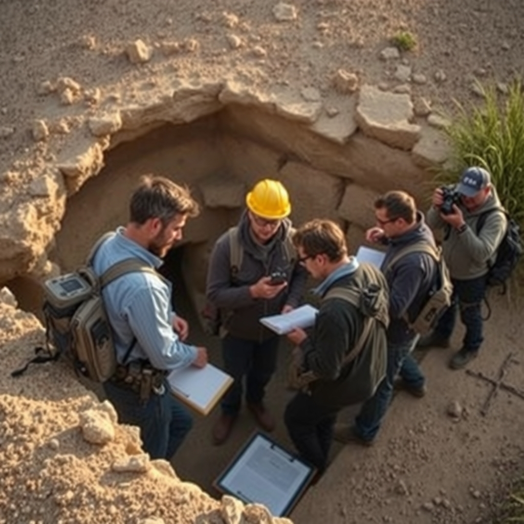
Unexcavated exists to document, map, and illuminate every known site that remains untouched beneath the earth — from forgotten cities to geological marvels science has yet to reach.
"To make the invisible past visible — and to ensure that what lies beneath is never forgotten before it is found."— The Unexcavated Project
Why We Exist
The archaeological and geological record is vast beyond imagination. For every site that has been excavated, dozens remain untouched — buried beneath soil, water, desert sand, and forest canopy. Many may never be excavated in our lifetimes.
Unexcavated was founded on a single conviction: these sites matter now, before a spade ever touches the ground. Documenting them, contextualizing them, and making their existence known protects them, inspires curiosity, and seeds the future of discovery.
We are not excavators. We are witnesses — and we believe witnessing is its own form of scholarship.
The Stakes of Silence
Unexcavated sites are among the most endangered resources on earth. Without documentation, they vanish without record.
Preservation Through Awareness
Sites that are known and named are harder to destroy. Documentation creates a public record that protects against development, looting, and neglect.
Rewriting Human History
Every unexcavated site is a potential revision of what we believe about the past. The next great discovery may already be on our map — waiting.
Guiding Future Research
Researchers, institutions, and governments need consolidated data to prioritize excavation efforts and allocate resources where they matter most.
Remote Sensing Revolution
LiDAR, ground-penetrating radar, and satellite imaging reveal sites never visible to the naked eye. We aggregate and interpret these signals.
Ethical Stewardship
Many sites belong to living cultures and indigenous peoples. Our documentation framework centers community consultation and cultural sovereignty.
Inspiring the Next Generation
The greatest discoveries in human history may still be underground. Making that tangible ignites the curiosity that drives tomorrow's archaeologists.
From Signal
to Record
-
01
Signal Detection
We monitor peer-reviewed remote sensing publications, satellite imagery releases, LiDAR surveys, and ground-penetrating radar datasets for anomalies consistent with buried sites.
-
02
Source Verification
Every candidate site is cross-referenced across multiple independent sources. We require at minimum two corroborating data streams before initial entry into the database.
-
03
Classification & Tagging
Sites are categorized by type, estimated age, geographic region, data confidence level, cultural affiliation, and excavation status using our standardized taxonomy.
-
04
Contextual Writing
Our editorial team writes original contextual entries for each site, situating it within its historical, geographical, and cultural landscape without speculative overreach.
-
05
Ongoing Review
Database entries are revisited when new research emerges. Sites are updated, reclassified, or — when excavation begins — graduated to the archaeological record.
Rigorous by Design
We hold ourselves to academic standards of evidence while remaining accessible to a public audience. Here are the pillars that guide every entry in the Unexcavated database.
Evidence-First
No site enters our database on speculation alone. We require verifiable remote sensing data, peer-reviewed citations, or credible field survey reports. Opinion and myth are clearly distinguished from evidence.
Transparency of Uncertainty
Every site is assigned a confidence rating. We explicitly communicate what is known, what is inferred, and what remains genuinely unknown — never conflating the three.
Cultural Sensitivity
We consult with indigenous communities, national heritage bodies, and local scholars before publishing entries involving culturally significant sites. Permission and context are not optional.
No Coordinates for At-Risk Sites
Sites identified as vulnerable to looting or unauthorized excavation are documented in the database with precise location data withheld from public view until protective measures are in place.
Scholars, Mapmakers, Storytellers
Unexcavated is built by a distributed team of archaeologists, data scientists, writers, and designers who share one obsession: what the earth still holds.
Dr. Maya Osei-Bonsu
Archaeologist specializing in sub-Saharan Bronze Age sites. Former field director at three West African excavations. Conceptualized Unexcavated in 2021.
Jonas Weilandt
Geospatial systems engineer with a background in remote sensing. Designed the database taxonomy and coordinates the site classification workflow.
Shreya Kulkarni
Science journalist and former curator at the Deccan Archaeological Survey. Oversees all contextual writing and ensures accuracy across the site's 2,000+ entries.
Tariq Al-Rashidi
Mapping specialist focused on the Middle East and Central Asia. Translates satellite and LiDAR anomaly data into layered visualizations for the interactive database.
Elara Montfort
Ethnoarchaeologist with fifteen years working alongside indigenous communities across Oceania and the Americas. Chairs our cultural sensitivity review board.
Riku Tanaka
Full-stack engineer and former NASA Jet Propulsion Lab developer. Maintains the database infrastructure and builds the visualization tools that power Explore.
Built on Rigorous Foundations
Our database draws on academic institutions, space agencies, and open heritage initiatives. We maintain transparent attribution for every data source.
ESA Sentinel Program
Multispectral satellite imagery for surface anomaly detection
NASA Earthdata
SRTM elevation models and thermal infrared subsurface imaging
Open Context
Peer-reviewed archaeological data repository and open linked data
ARIADNE Infrastructure
Pan-European archaeological research infrastructure network
JSTOR Global Plants
Paleoecological and botanical site-context data
LiDAR Archive Initiative
Aggregated airborne LiDAR surveys across six continents
tDAR Digital Repository
The Digital Archaeological Record — legacy survey and report archive
UNESCO World Heritage
Protected site boundaries and at-risk designation data