Cambodia · Siem Reap Province · Khmer Empire
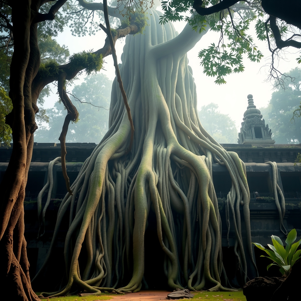
Angkor — Hundreds of Temples Still Swallowed by the Cambodian Jungle
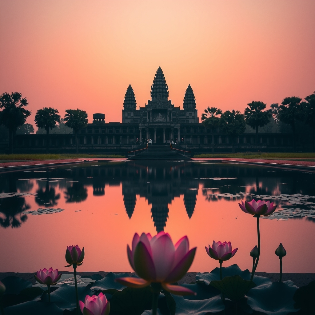
The world knows Angkor Wat. But the greater Angkor complex spans over 400 square kilometres — and beneath its jungle canopy, the majority of temples have never been excavated.
Fast Facts
The Scale of What Remains
Beyond Angkor Wat — The Known vs. The Hidden Hundreds
Angkor Wat, Ta Prohm, Bayon — these names anchor the public imagination of the Khmer Empire. But archaeology has barely scratched the surface of a civilisation that, at its peak, may have been the largest pre-industrial urban settlement on Earth.
The famous temples sit within a dense, formally maintained core. The vast outer zones — choked with secondary jungle, minefields still uncleared from 20th-century conflict, and terrain inaccessible to ground survey — remain almost entirely unexamined.
What Has Been Excavated
- Angkor Wat complex
- Angkor Thom & the Bayon
- Ta Prohm & Preah Khan
- Banteay Srei, Beng Mealea
- ~72 temples across the core zone
- Some hydraulic infrastructure
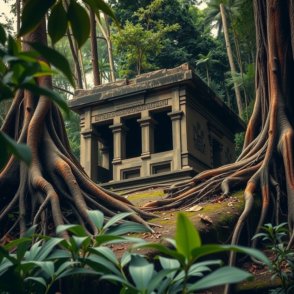
Scholars estimate that for every major monument studied, several smaller but historically significant structures remain untouched beneath the forest floor. The jungle doesn't just obscure temples — it actively reclaims them, with root systems dismantling stone and soil accumulating over carved surfaces over centuries.
Modern Discovery
What LiDAR Revealed
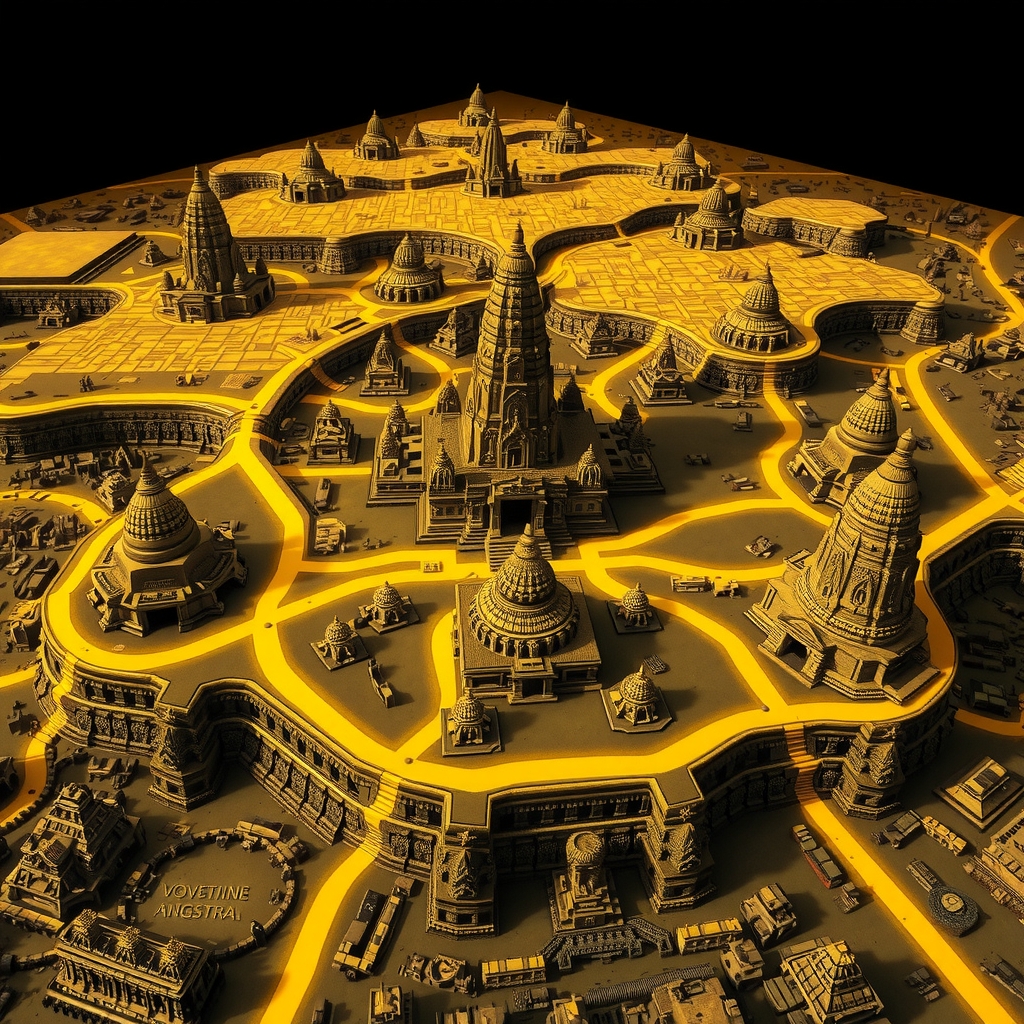
In 2012, and again with expanded campaigns through 2015–2022, airborne LiDAR surveys stripped the jungle canopy from the data, exposing the ground surface beneath with extraordinary precision. What emerged fundamentally changed our understanding of Angkor.
new man-made features detected in greater Angkor region
km² of Khmer-era landscape newly mapped beyond the core
previously unknown urban centres identified in the outer zones
The Cambodian Archaeological LiDAR Initiative (CALI) revealed that the Angkor complex wasn't a city surrounded by jungle — it was an enormous, low-density urban landscape. Ceremonial roads, water management canals, reservoirs, and dwelling mounds stretch far beyond what any archaeologist had previously mapped.
The Unreached
What Remains Buried
Outer Sanctuary Temples
Hundreds of smaller prasat — brick and laterite shrines built across the empire's span — lie under forest debris, known only as mounds from above.
Residential Urban Quarters
Where did hundreds of thousands of Khmer citizens live? LiDAR suggests vast residential zones of perishable materials, with only foundations surviving.
Hydraulic Engineering Networks
Angkor's water system was extraordinarily complex. Outer canals, diversion channels, and reservoir infrastructure remain largely unexcavated and unstudied.
Sacred Road Networks
Raised causeways connecting temple complexes across the empire. Many routes identified by LiDAR have never been physically examined or dated.
Pre-Angkorian Foundations
Khmer civilisation predates the Angkor period. Beneath some temple platforms lie earlier structures from 6th–8th century kingdoms still waiting to be understood.
Landmine-Sealed Zones
Significant parts of the outer complex remain physically inaccessible due to uncleared landmines from 1970s–90s conflict — an ongoing barrier to archaeology.
Atmosphere
Where Jungle Meets Stone
Continue Exploring
Other Buried Civilisations
Angkor is not alone. Across the ancient world, entire cities and temple complexes remain sealed beneath earth, jungle, and time.
Submit an Unexcavated Site